Radius Map Tool
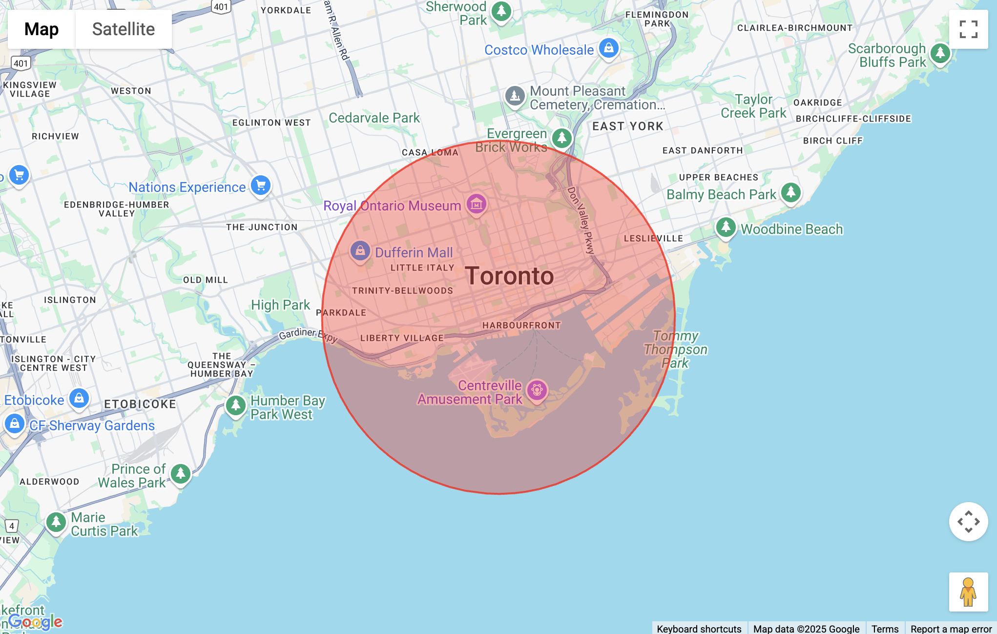
The Radius Map Tool is a simple and intuitive mapping tool that helps you visualize radius circles on a Google Map. Whether you're analyzing a service area, marking a central point, or calculating drive times, this tool lets you create and interact with map radius overlays quickly and easily—no account or coding required.
By using this radius map tool, you’re optimizing how you interact with google maps, improving data visualization, and streamlining geographic analysis.

Add a Radius
You have two ways to draw radius circles on the map tool:
- Search — Enter an address or starting point, and a radius circle with a default size of 5km is placed on the center point.
- Draw — Click the Draw Circle button to manually place a radius anywhere on the map.
Both options are helpful for plotting mile radius or metric distances around points of interest like homes, businesses, or datasets.
Edit a Radius
After a radius is placed, you can click it to open edit options:
- Resize the radius size by dragging the outer edge.
- Move it by dragging the inner center point.
- Change color using the color picker.
- Manually set the radius distance in kilometers or miles.
- Delete the radius if needed.
This level of functionality makes it a versatile tool for real estate, demographics, travel time visualization, and radius distance planning.
Additional Tools
Export
There’s currently no option to save or export your radius maps, KML, or drive-time isochrones, but you can use your system’s built-in tool to take screenshots and add them to reports or Excel datasets.
Typical Uses
- Define service areas for delivery, sales, or support zones
- Visualize demographics within a certain radius distance
- Evaluate real estate opportunities based on proximity
- Map travel time or driving time from a current location
- Analyze data sets spatially using radius mapping
Interactive Maps
If you’re looking to create an interactive map you can share, consider Atlist.
While Atlist doesn't have a way to draw radius on a map, it does offer a variety of powerful features, including:
- Multiple Markers: Add hundreds of markers. Plus, clicking on a marker opens a detailed modal with additional information.
- Custom Styling: Fully customize the appearance of maps, markers, and modals.
- Advanced Search & Filtering: Enable powerful search options and filter by tags for easy navigation.
- Easy Embedding: Seamlessly embed maps on any website.
- Custom Design Options: Personalize every aspect of your maps to match your brand or aesthetic.
- CTA Integration: Add call-to-action buttons directly to your maps.
.png)
FAQ
Q: Can I create multiple radius overlays?
Yes! You can draw multiple radius circles on the same map to compare areas.
Q: Can I use this with Google Maps API or Google Earth?
Not directly, but it's inspired by those tools and useful for overlay planning.
Q: Can I draw polygons or rectangles too?
This tool is focused on drawing radius only. For polygon support, use our Rectangle Tool or our Polygon Tool.
For further questions or issues, feel free to email steve@atlist.com.

